Why GPS flies 20,000 km up and the ISS only 400.
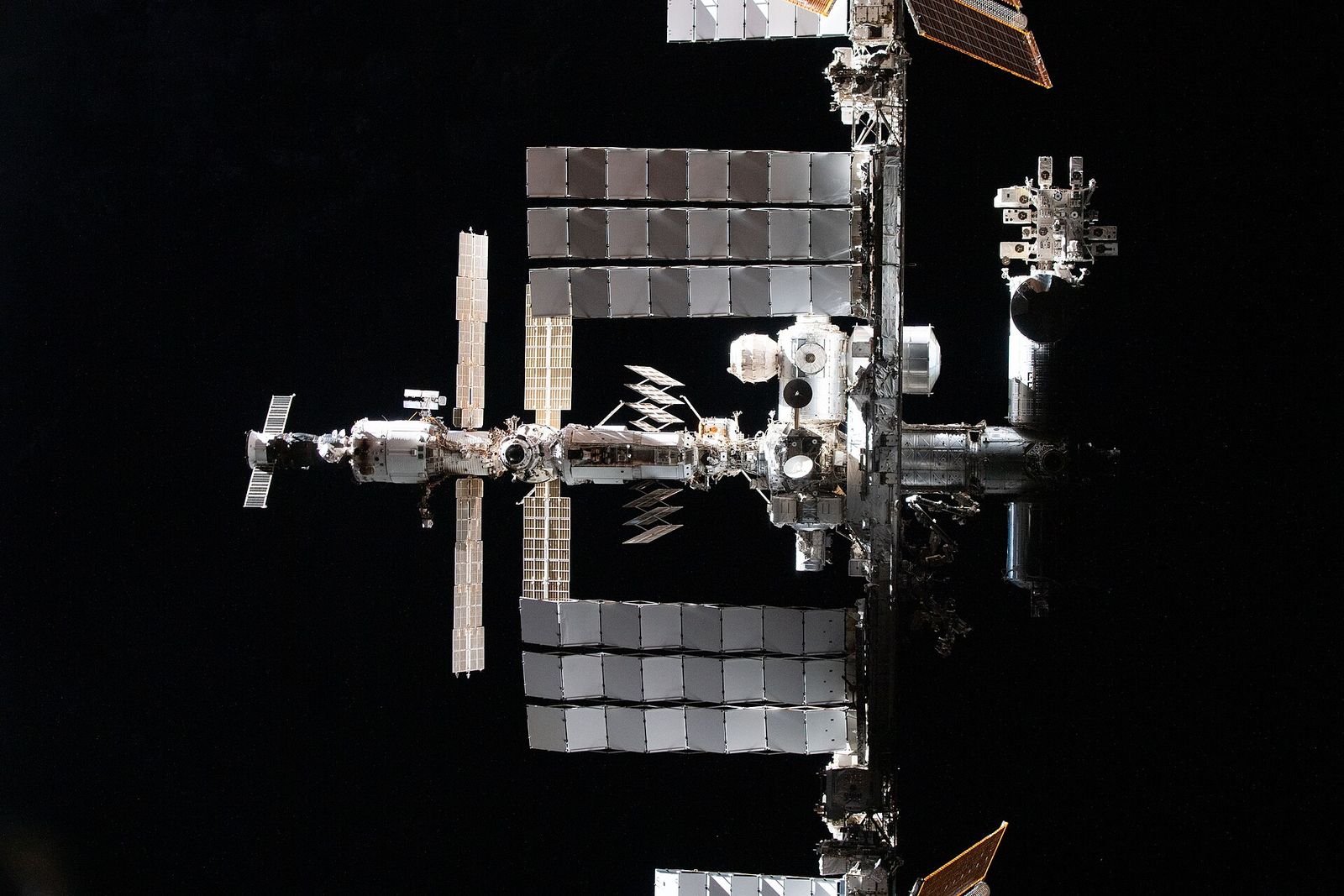
Open Orbit Atlas and switch between altitude bands, and the sky splits into neighborhoods. A dense swarm hugs the planet. A thinner ring sits far out, and a lonely belt waits even further away above the equator. None of this is random. Each height is a trade-off between speed, coverage, cost and what the satellite needs to see.
The one rule behind every orbit.
The closer a satellite is to Earth, the faster it must travel to stay in orbit, and the shorter its trip around the planet. Move higher and it slows down and takes longer. This relationship, worked out by Kepler and explained by Newton, is why the International Space Station laps the planet in about an hour and a half while a geostationary satellite takes a full day.
Low Earth orbit: close, fast and crowded.
Low Earth orbit is generally taken to be below about 2,000 km. The International Space Station flies at roughly 400 km. NASA describes it travelling at about five miles (eight kilometers) per second and orbiting Earth about every 90 minutes, which adds up to 16 orbits, and 16 sunrises, every day.
Low is useful. It is cheaper to reach, easier for crews to get to and back from, and close enough for cameras to see fine detail. Many Earth-observation satellites use sun-synchronous orbits a few hundred kilometers higher, which pass over each place at about the same local time so that images are comparable from day to day. The catch is air: even at these heights there is a trace of atmosphere, which slowly drags satellites down. The space station has to be boosted back up periodically.
Low also means a satellite sees only a small patch of Earth at a time. To cover the whole planet you need many satellites, which is why communication constellations in low orbit number in the thousands.
Medium Earth orbit: where GPS lives.
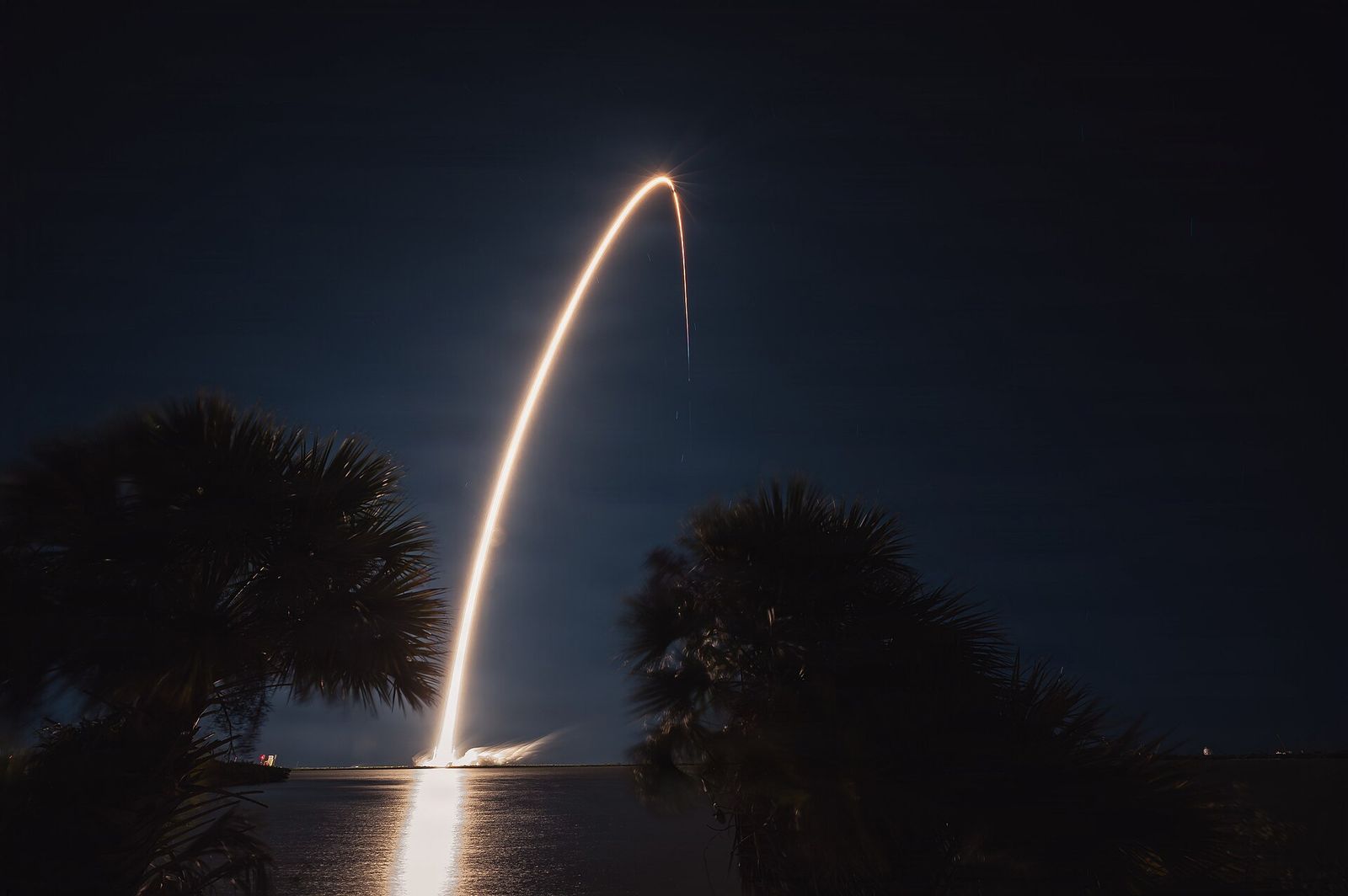
According to the official GPS site, GPS satellites fly in medium Earth orbit at about 20,200 km, and each one circles the Earth twice a day. They are arranged in six orbital planes so that at least four satellites are in view from virtually any point on the planet. Your phone needs signals from several satellites at once to work out where it is.
That height is a compromise. Far enough out that each satellite covers a huge area, so a few dozen can serve the whole world. Close enough that the signals are still usable and the satellites can be launched and replaced at a sensible cost.
Geostationary orbit: the satellite that never moves.
At about 35,786 km above the equator, a satellite takes exactly as long to go around Earth as Earth takes to spin once. Seen from the ground, it appears to hang still in the sky. That is why a satellite TV dish can be bolted in place and never move, and why weather satellites in this orbit can watch the same half of the planet continuously.
The price is distance. Signals take a noticeable fraction of a second to make the round trip, and seeing fine detail from that far away needs much larger instruments. Because the orbit only works above the equator, it is also a limited, carefully coordinated piece of space.
See it for yourself.
In Orbit Atlas, search for ISS and watch its ground track wind around the planet. Then search for GPS or NAVSTAR and compare how slowly those satellites move. Use the altitude filters to show low, medium and high orbits one at a time. The positions are predictions from a dated public catalog, not live telemetry, so read the notes on how it works before relying on any single position.
If you would rather see a satellite with your own eyes, the space station is the easiest target. It is bright, it moves steadily, and it can vanish in the middle of the sky as it slips into Earth’s shadow.